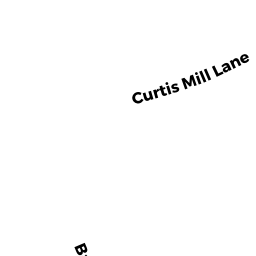
111 CURTIS MILL LANE
Owner Information
HORAN ROBERT G & REGINA M
111 CURTIS MILL LANE
HANOVER, MA 02339


Property Details
111 CURTIS MILL LANE is classified as a Single Family Residential (Colonial).
The primary structure on this property was built in 1995. There are 7,372ft2 of built area within this property. There is 4,243ft2 of residential/living space within this property. This property is listed as having 13 rooms.
111 CURTIS MILL LANE is valued at $1,041,500. The land is valued at $286,100 and the structures are valued at $750,500. There is an additional valuation of $4,900 on this property.
The most recent deed for 111 CURTIS MILL LANE is recorded at the local registrar in Book 26297, Page 56. 111 CURTIS MILL LANE was last sold on Monday, August 25, 2003 for $785,000.
Assessment data from fiscal year 2022.
Flood Data
According to the FEMA National Flood Hazard Layer, this property does not appear to be in a flood zone. It may also be in an area not yet reviewed. Nonetheless, confirm this information prior to taking any action.
To view the flood hazards around this property, create a FEMA "Firmette" Map of the area around 111 CURTIS MILL LANE.
Broadband Internet Providers
| Provider | Type | Bandwidth (mbps) | |
|---|---|---|---|
| VSAT Systems, LLC. | Satellite | 2 | 1 |
| GCI Communication Corp. | Satellite | 0 | 0 |
| Viasat Inc | Satellite | 100 | 3 |
| Verizon New England Inc. | Fiber | 940 | 880 |
| Comcast | Cable | 1000 | 35 |
| HughesNet | Satellite | 25 | 3 |
Broadband service provider data from December 2020.
Adjacent Properties
- 131 CURTIS MILL LANE
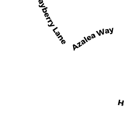
Single Family Residential owned by PLANTE DANIEL & CHERYL (TBE) - 20 AZALEA WAY
Single Family Residential owned by JANAUS-CAMPBELL BEVERLY & - 49 BAYBERRY LANE
Single Family Residential owned by THIELE WILLIAM - 63 BAYBERRY LANE
Single Family Residential owned by MACVARISH, ROBERT AND KATHY - 99 CURTIS MILL LANE
Single Family Residential owned by DUVAL DAVID P & MARY